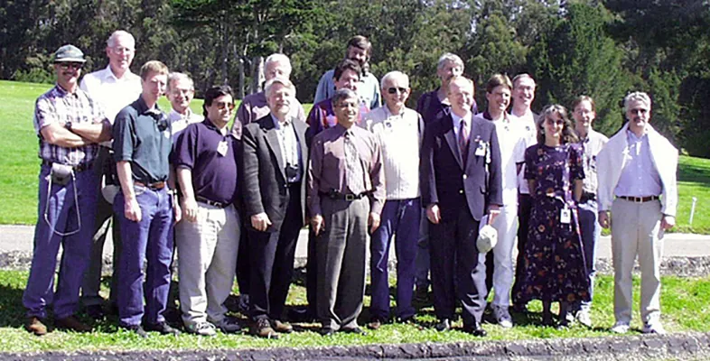
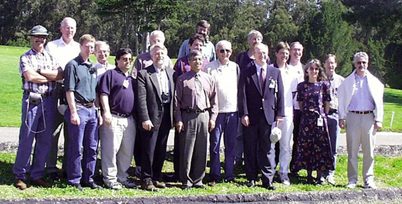
In the more than five decades of the Landsat program, there have been many visionaries who have changed the course of remote sensing history. One such figure is Alexander Goetz, a physicist and planetary scientist who pioneered imaging spectrometry from space.
Goetz was part of the Landsat Program from the very beginning, working as a principal investigator for Landsats 1 and 2. Years later, he returned to the program as a member of the first formal Landsat Science Team on Landsat 7. This diverse group of researchers, technologists, and calibration and applications specialists helped advance Landsat science goals, refined algorithms, and supported on-the-ground calibration. Crucially, the team advised on the creation of the long-term acquisition plan (LTAP), which ensured consistent global, seasonal coverage of Landsat data. Goetz, for his part, led a study titled “Land and Land-Use Change in the Climate Sensitive High Plains: An Automated Approach with Landsat”.
Goetz, who passed away in 2025 at age 86, was an innovator in the field of spectrometry. According to a 2009 special issue of Remote Sensing of Environment, Goetz was “one of the few remote sensing scientists in the early days of the Landsat program to recognize the Multispectral Scanner (MSS) and later the Thematic Mapper (TM) for what they really were: quantitative spectral measuring instruments, not just ‘cameras in space’ that made pretty pictures.”
True to that vision, in 1974—just two years after the launch of Landsat 1—Goetz developed a portable field spectrometer to acquire ground truth surface reflectance data to calibrate data from the MSS. Building on the success of the field spectrometer experiment, he worked with a team to develop the Shuttle Multispectral Infrared Radiometer (SMIRR), which flew on the Space Shuttle in 1981. SMIRR, which collected data across ten bands, enabled scientists to map mineral composition from space for the first time. Data from SMIRR contributed to the case for adding band 7 to the TM on Landsat 4. By measuring data in the shortwave-infrared (SWIR) part of the electromagnetic spectrum, band 7 allowed geological researchers to better map rock types. Goetz was awarded the prestigious William T. Pecora Award and the NASA Medal for Exceptional Scientific Achievement for his pioneering work on imaging spectrometry.
Today, 27 years after the launch of Landsat 7, we honor the legacy of Alexander Goetz, one of the key figures in Landsat history.
Explore More
An Agricultural “Island” in the Saskatchewan River Delta
3 min read
Surrounded by wetlands, Manitoba’s northernmost farmland near The Pas turns from green to brown over the 2026 growing season.
Oct 1, 2026
Article
Boom Year for Desert Blooms
3 min read
Carpets of wildflowers burst from arid, ochre-colored land in Western Australia following winter rains.
Sep 23, 2026
Article
Lake Powell Drops to Record-Low Levels
4 min read
Snow drought and unusually warm temperatures in the Colorado Basin in 2026 helped drive down reservoir water storage in the…
Sep 18, 2026
Article
1
2
3
…
347
Next
Source: NASA Science